
Click to download now, finish the installation quickly, and directly unlock the all-round experience
Screenshots

Click to download now, finish the installation quickly, and directly unlock the all-round experience
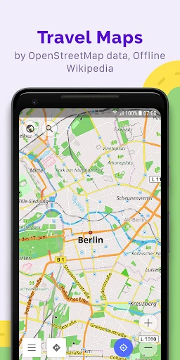
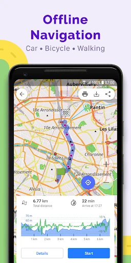
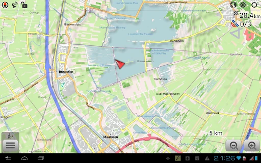
OsmAnd+ — Maps & GPS Offline is a mapping and navigation app for Android users who need dependable route guidance without relying on a constant mobile connection. It uses OpenStreetMap data to provide maps and turn-by-turn navigation for driving, walking, cycling, and other outdoor activities. It suits travelers, commuters, hikers, and anyone who regularly visits areas with weak or unavailable cellular coverage.
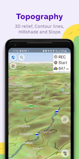
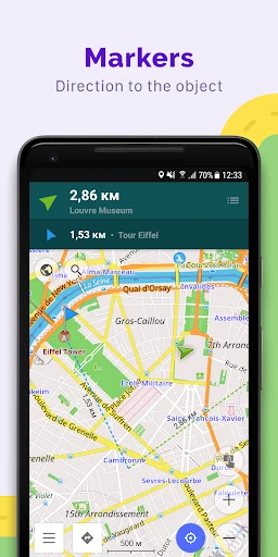
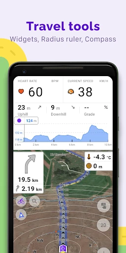
The app offers more than a standard road map. Users can work with map styles and layers suited to activities such as hiking, skiing, off-road travel, and nautical navigation. Topographic information, contour lines, terrain details, and points of interest can make maps more useful when a simple street view is not enough. Navigation profiles can also be adjusted for different types of travel, including cars, bicycles, motorcycles, and pedestrians.
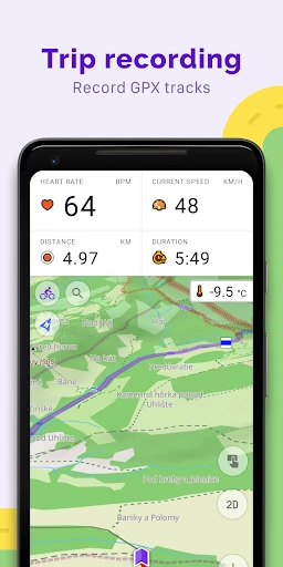
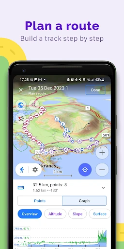
OsmAnd+ includes tools for building routes point by point, recording journeys, and working with GPX tracks. This makes it practical for planning longer trips or reviewing a completed route. Offline travel content from Wikipedia and Wikivoyage can add background information about destinations and places of interest, which is useful when traveling without roaming data.
The wide range of settings and map options favors users who want control over how navigation works rather than a minimal interface. New users may need time to explore the available tools, but the depth is valuable for outdoor enthusiasts and privacy-conscious travelers. Developed by OsmAnd, the app is listed in Travel & Local and has a 4.59/5 rating from 43,052 reviews, with 100,000+ installs.